360° Panorama of Flooding in 2012
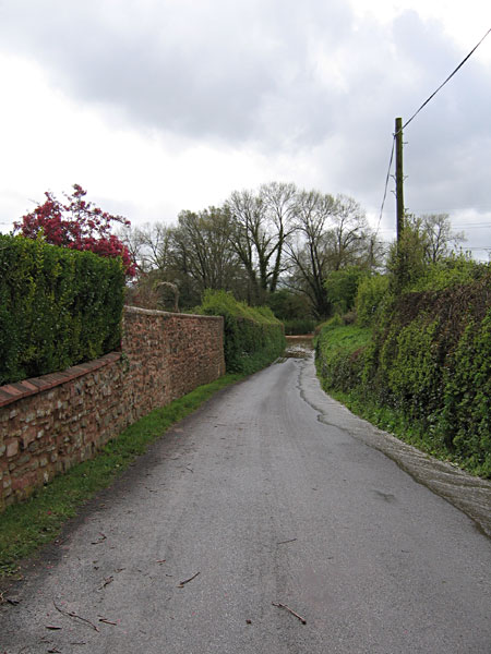
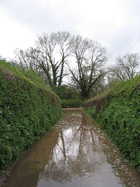
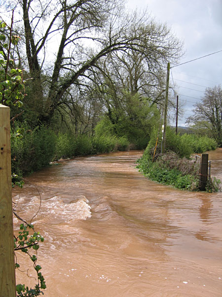
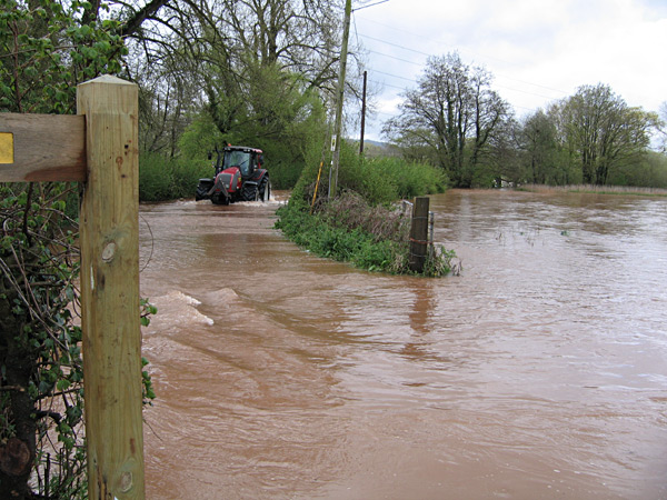
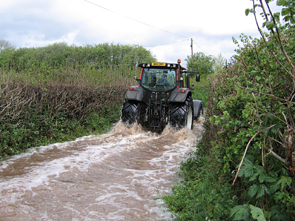
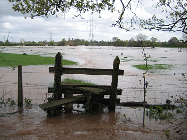
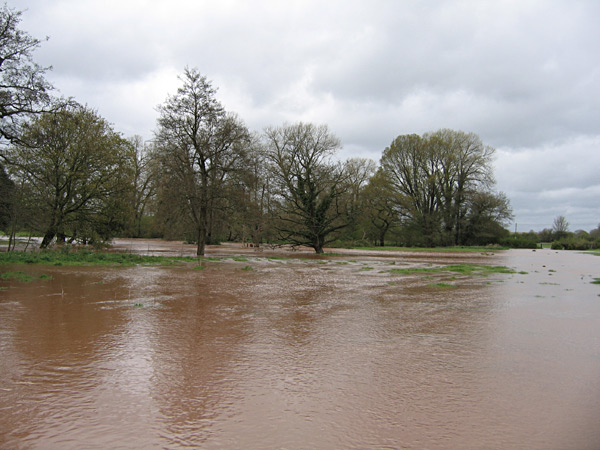
Strictly speaking the Panorama above [currently not loaded 20.x.15] has no place here, having been photographed just outside the parish bounds on the 'footpath' between East Nynehead and Bradford 'zum Meer' - as it was then. Hover the mouse pointer over the panorama to pause it. The image is composed of a number of photos taken of the River Tone in full spate in 2012. Approx position from which the images were taken: 50° 59' 53" N 3° 11' 40" W. For those who know the area, the join is roughly where the stile is after crossing the railway going towards Bradford - also shown in an image below. The other images below were taken at the same time as the panorama but from within the parish, mainly around East Nynehead.

